Drone Visualization Web • Drone Soft
For our client, we created a web application for geographic measurements in 2D, and 3D drone images for more significant construction works.
Project
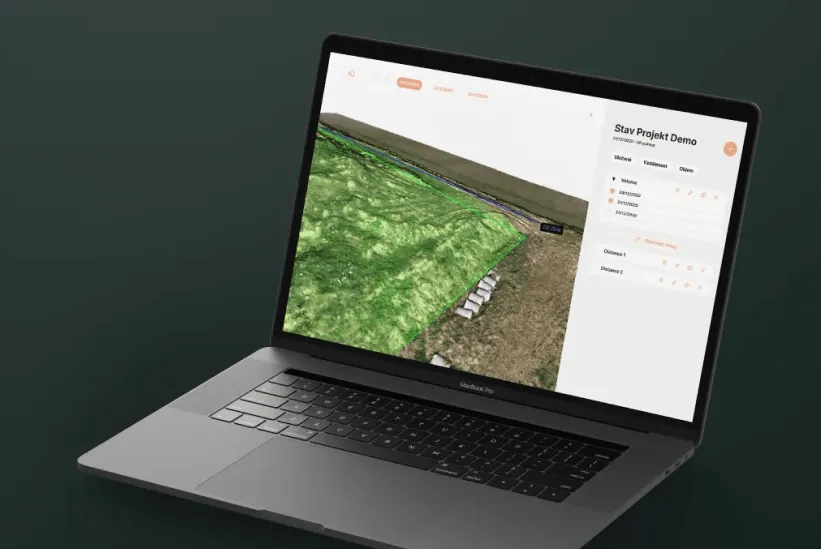
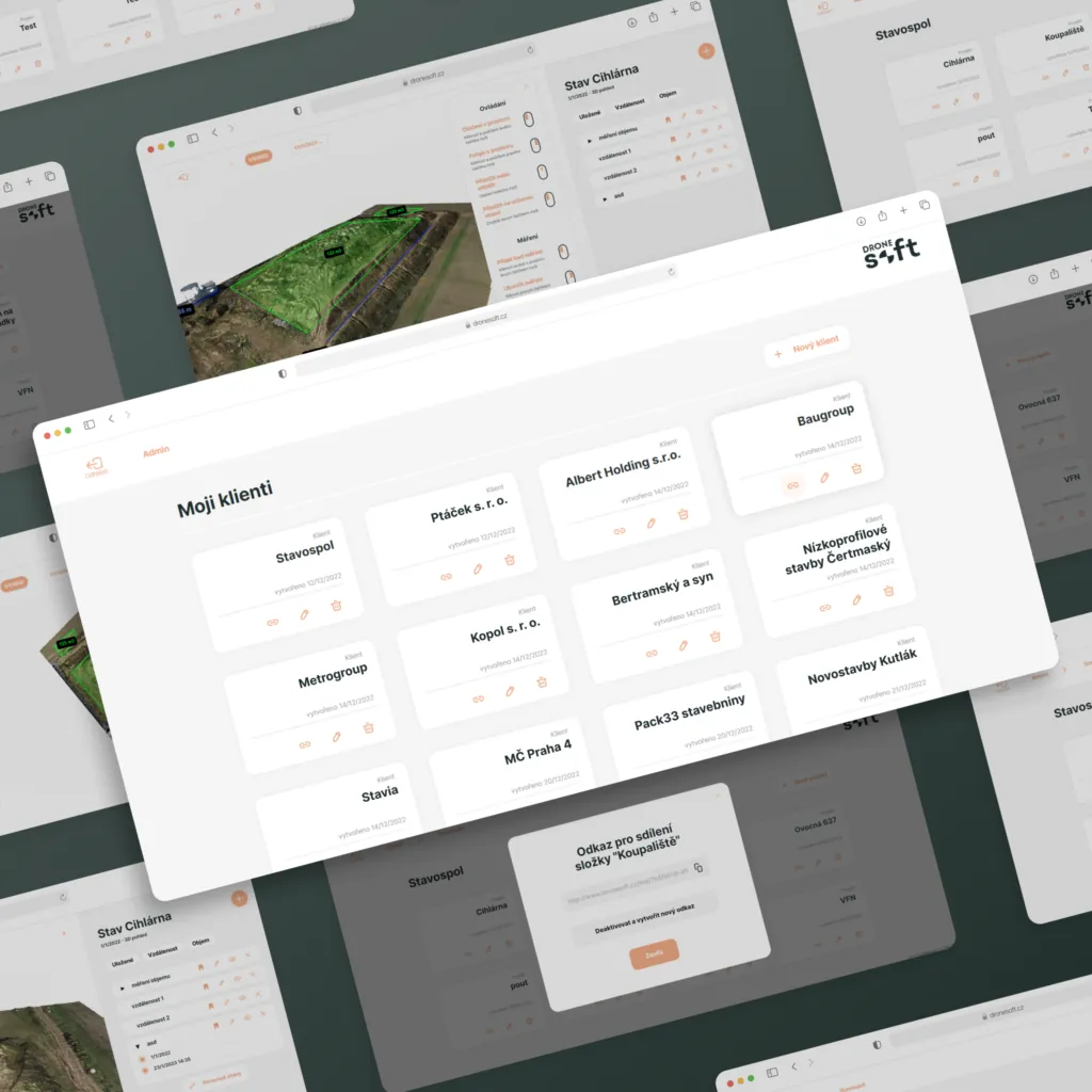
The web app enables clients to measure distances, areas, and volumes in uploaded documents and provides a comparison of volume changes over time, with an option to export results as a PDF.
The brief
Our client's objective was to develop a web application that is user-friendly and catered to the needs of a construction company. The application should possess the capability to measure distances, areas, and volumes in 2D and 3D drone images, allowing them to compare changes over time.
Goal
Transform the entire experience into a more authentic and immersive one.
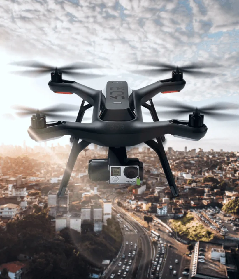
3D visualization with drones enables the creation of high-resolution and accurate 3D models, providing valuable insights and data for a range of industries
Challenge
We took charge of optimizing and seamlessly integrating the scans performed by the drones. Our expertise and experience in this field allowed us to ensure that the drones’ scans were not only accurate but also efficient, providing valuable insights and data to our clients.
Solution
Our process began with a thorough analysis of the scans, followed by a meticulous optimization and repair of the 3D models. We then proceeded to test and implement interactions, ensuring that the models were not only visually appealing but also functional and user-friendly.
👋 let's talk
By clicking the "send" button, I agree to the collection and processing of my personal data as described in the Privacy Policy.